|
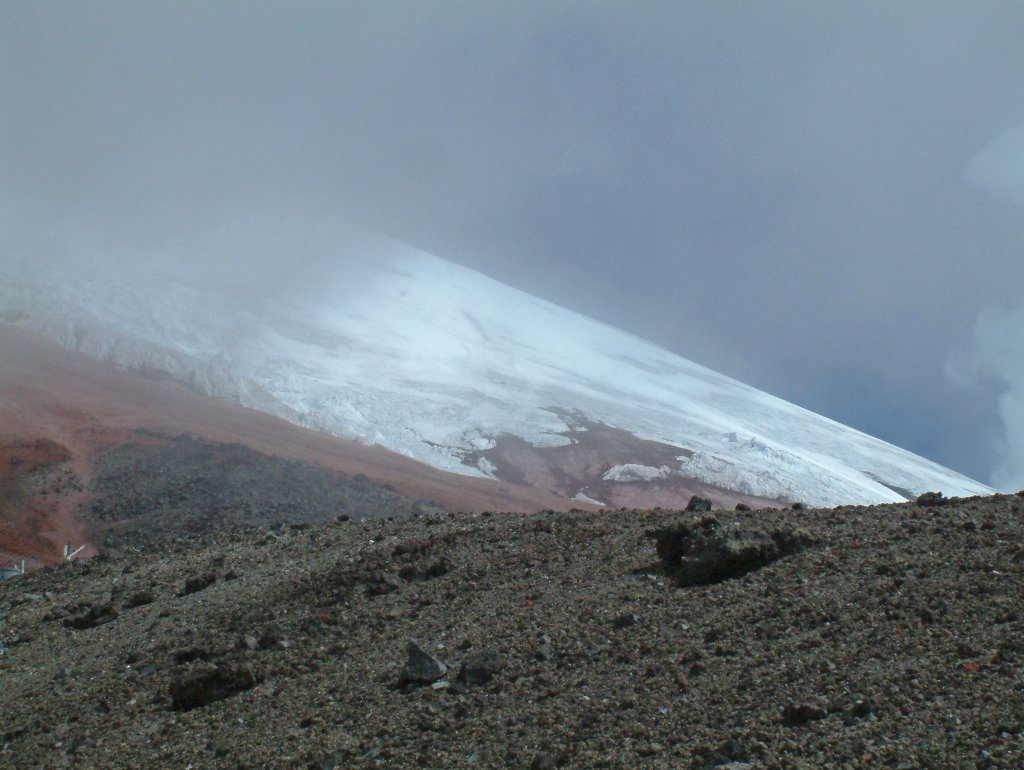 |
| Cold clouds hide the summit | |
| Latitude: S 0°39'54,93" | Longitude: W 78°26'19,29" | Altitude: 4897 metres | Location: Volcán Cotopxi | State/Province: Pichincha | Country: Ecuador | Copyright: Ron Harkink | See map | |
| Total images: 13 | Help | |
|
|
|
| Cold clouds hide the summit | |
| Latitude: S 0°39'54,93" | Longitude: W 78°26'19,29" | Altitude: 4897 metres | Location: Volcán Cotopxi | State/Province: Pichincha | Country: Ecuador | Copyright: Ron Harkink | See map | |
| Total images: 13 | Help | |